Project
Background
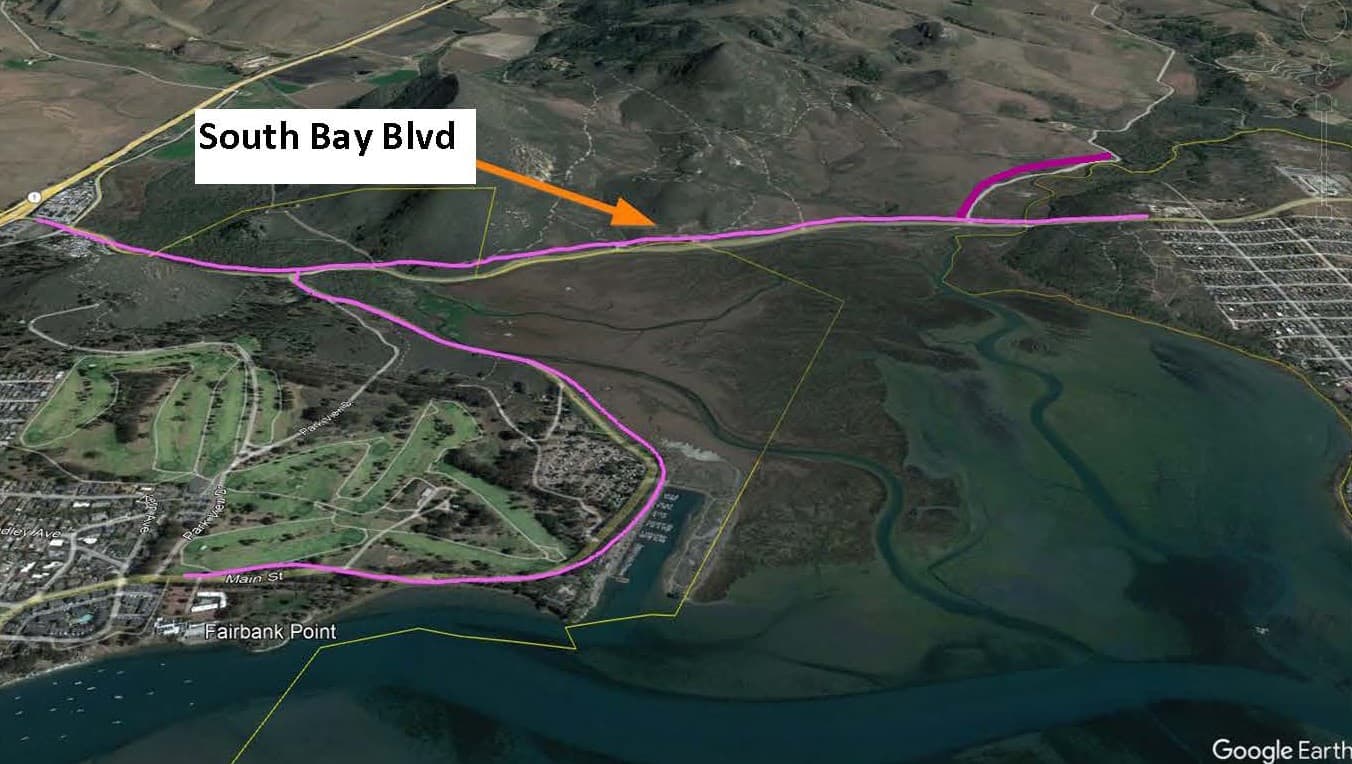
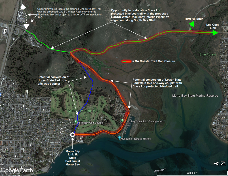
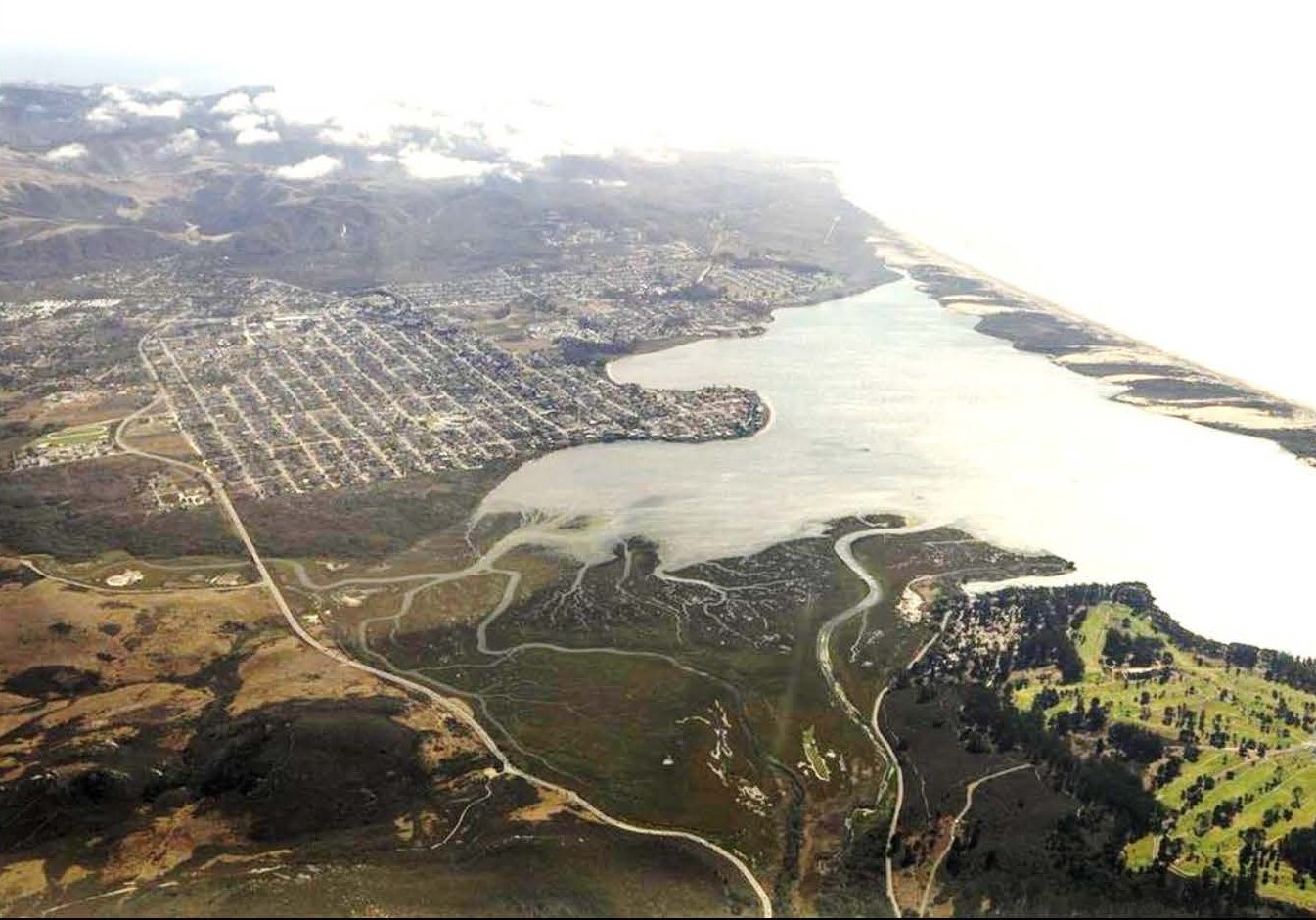
The Plan will focus on a 2.5 mile stretch of South Bay Boulevard between State Route 1 and Los Osos Creek, including spurs along South Park Road (i.e., Main Street), Quintana Avenue, and Turri Road. Note that the study area also includes the Morro Estuary Natural Preserve and Morro Bay State Marine Reserve. Other jurisdictional zones will also be considered, including the California Department of Fish and Wildlife lands and others.
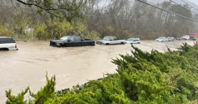
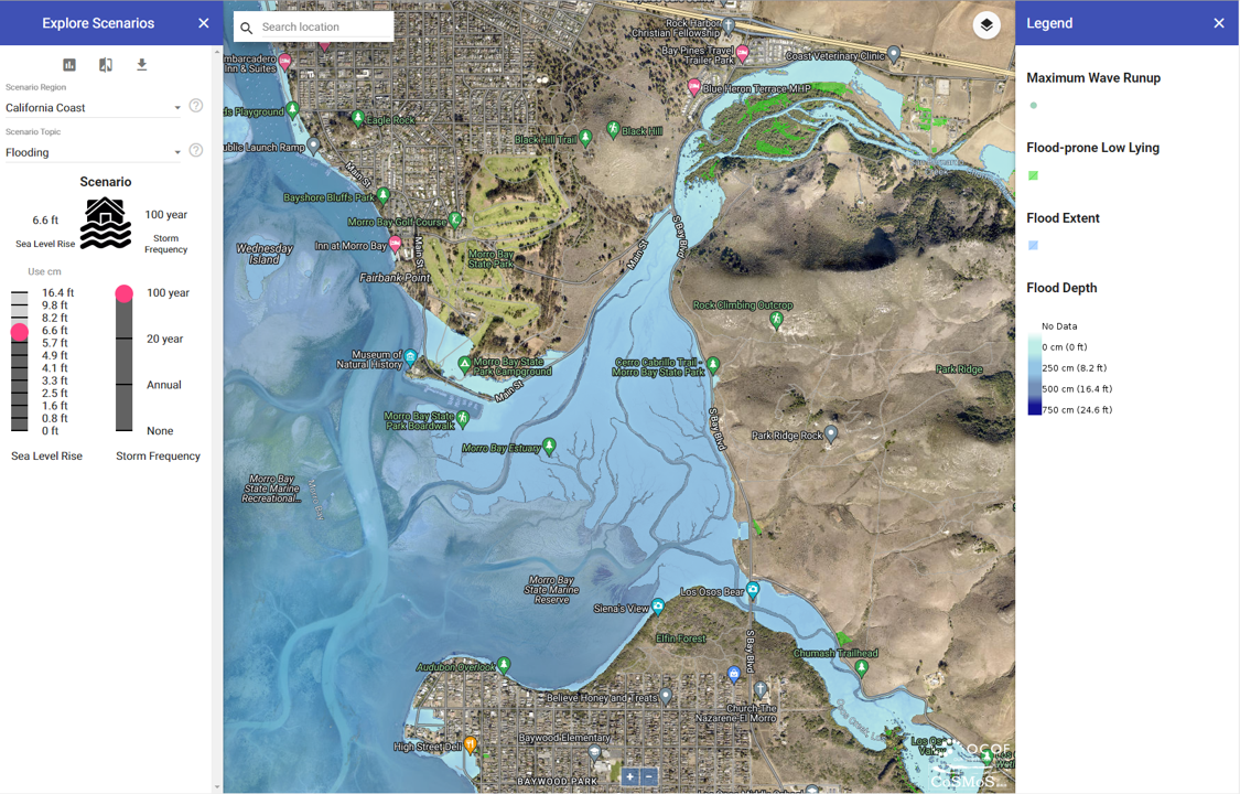
Winter storms in January 2023 damaged portions of South Bay Boulevard and caused extensive flooding of the roads and other properties. Although construction of the “new” Twin Bridges over Chorro Creek circa 1995 helped to relieve flooding issues and road closures, the roadway is still vulnerable to flooding. Road closures due to flood events eliminate connectivity between the communities of Morro Bay and Los Osos and block one of the primary evacuation routes in the event of a radiation accident at Diablo Canyon Nuclear Power Plant. Combinations of high estuary tide levels with high creek flows result in greater flooding of the area, particularly in the lower reaches of the tidal creeks (i.e., Chorro Creek and Los Osos Creek).
With sea-level rise, the impacts and the frequency of road closures are expected to increase dramatically. The study area also includes important wetland habitats, next to which South Bay Boulevard and adjoining roadway spurs. These wetland habitat areas are part of the State Marine Reserve and Natural Preserve and are critically important for a variety of animals and plants, including some endemic species that can only be found locally. These habitats are also potentially vulnerable to sea-level rise. The Morro Bay National Estuary Program (MBNEP) has been working with the United States Geological Survey (USGS) and others to study how the wetlands may respond to sea-level rise through natural sedimentation, which will be integrated into this Plan.
Opportunities &
Constraints
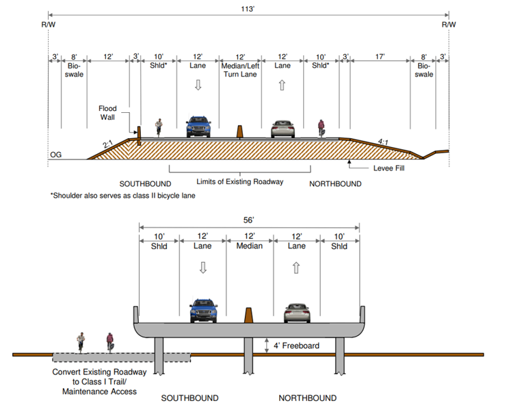
A holistic adaptation planning approach that includes stakeholder engagement and considers numerous Plan objectives is needed to start developing solutions for the community to build upon and eventually implement. SLOCOG’s vision for the Plan includes close collaboration with a wide range of stakeholders, including Caltrans, California State Parks, San Luis Obispo County, City of Morro Bay, Community of Los Osos, the MBNEP, as well as community members to co-develop thoughtful and innovative solutions. In addition to enhancing mobility through the estuary with engineered design concepts rooted in nature-based solutions, the Plan will also increase floodplain resilience, preserve critical habitats, and increase flood protection for public infrastructure. Through this study, the team will develop an inventory of vulnerable assets and when those assets are likely to be impacted by sea-level rise hazards, and then the Plan will use an adaptive pathways framework that offers potential adaptation actions that can be taken over near-, mid-, and long-term planning horizons as sea levels rise.
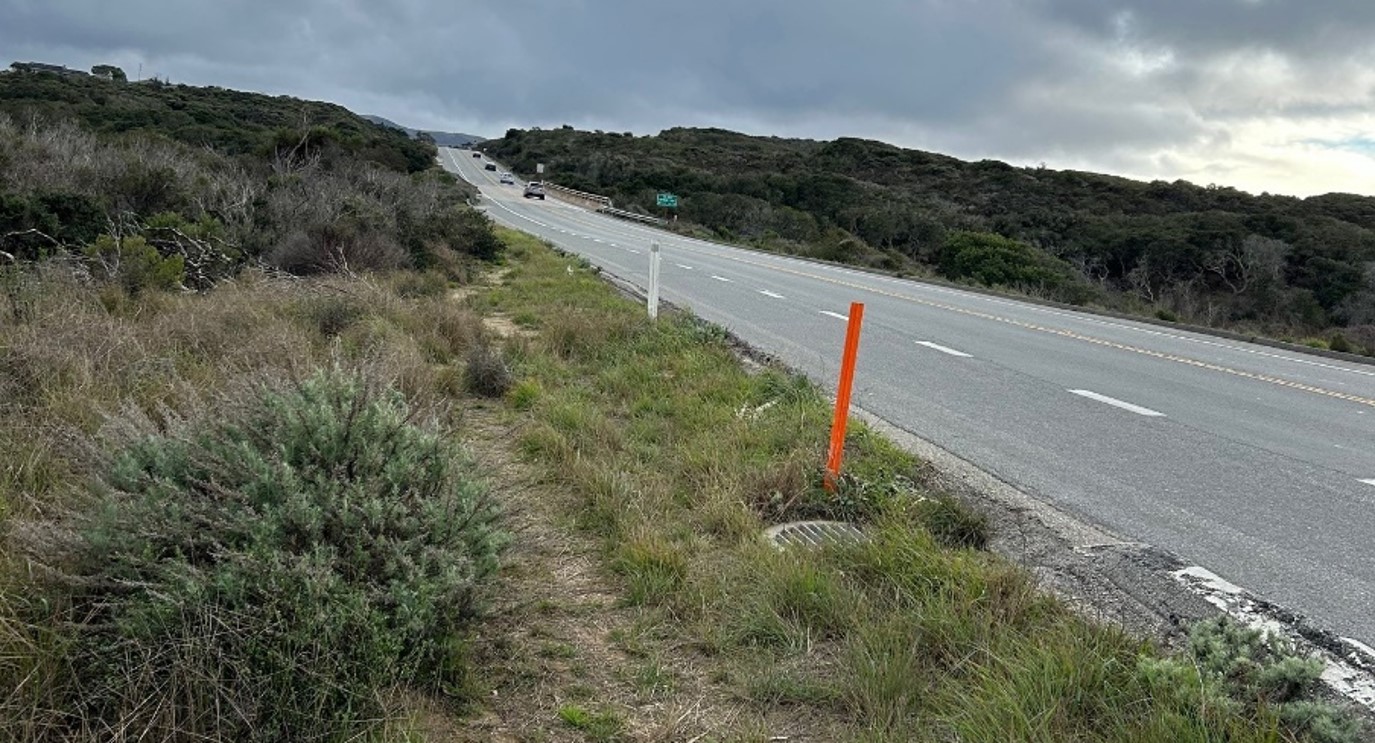
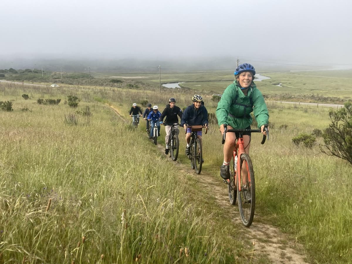
Non-motorized mobility options along the roadways between Morro Bay and Los Osos are currently extremely limited. Although Class II bike lanes are located on the shoulders of South Bay Boulevard, mobility is limited to those with the physical ability to safely operate a bicycle adjacent to a highway. Presently there are no ADA-compliant trails around the estuary and this section of shoreline is a known gap in the California Coastal Trail, despite good intentions from California State Parks to envisage a multi-modal connection along the shores of the estuary.
One of the outcomes of the Plan is to develop a conceptual design for a new protected bike/pedestrian facility or multi-use pathway connecting the communities of Los Osos and Morro Bay in order to close this gap in the California Coastal Trail. The Community of Los Osos plans to install a new pipe that would route reclaimed water from the new Morro Bay Wastewater Treatment Facility to Los Osos along South Bay Boulevard, which presents an opportunity to co-locate the bike trail on top of or adjacent to the pipeline to minimize impacts and disturbance to habitat and the existing roadway.
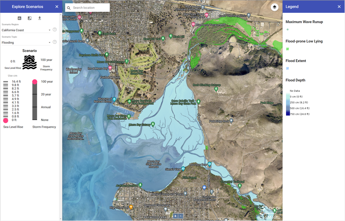
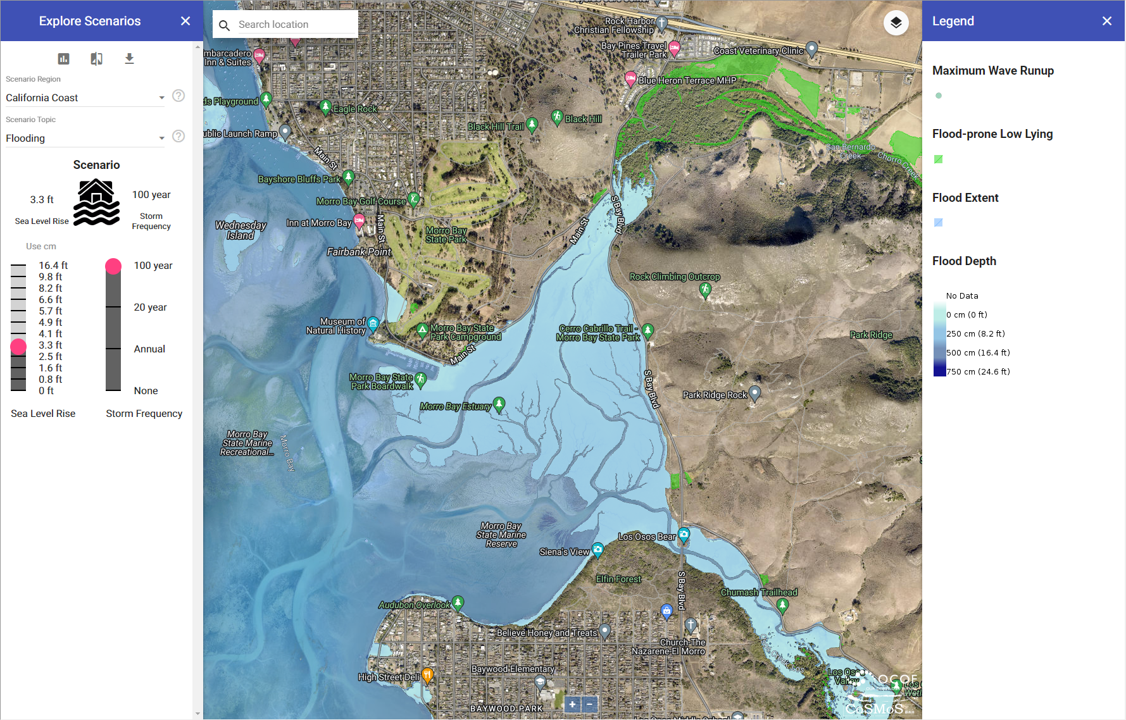
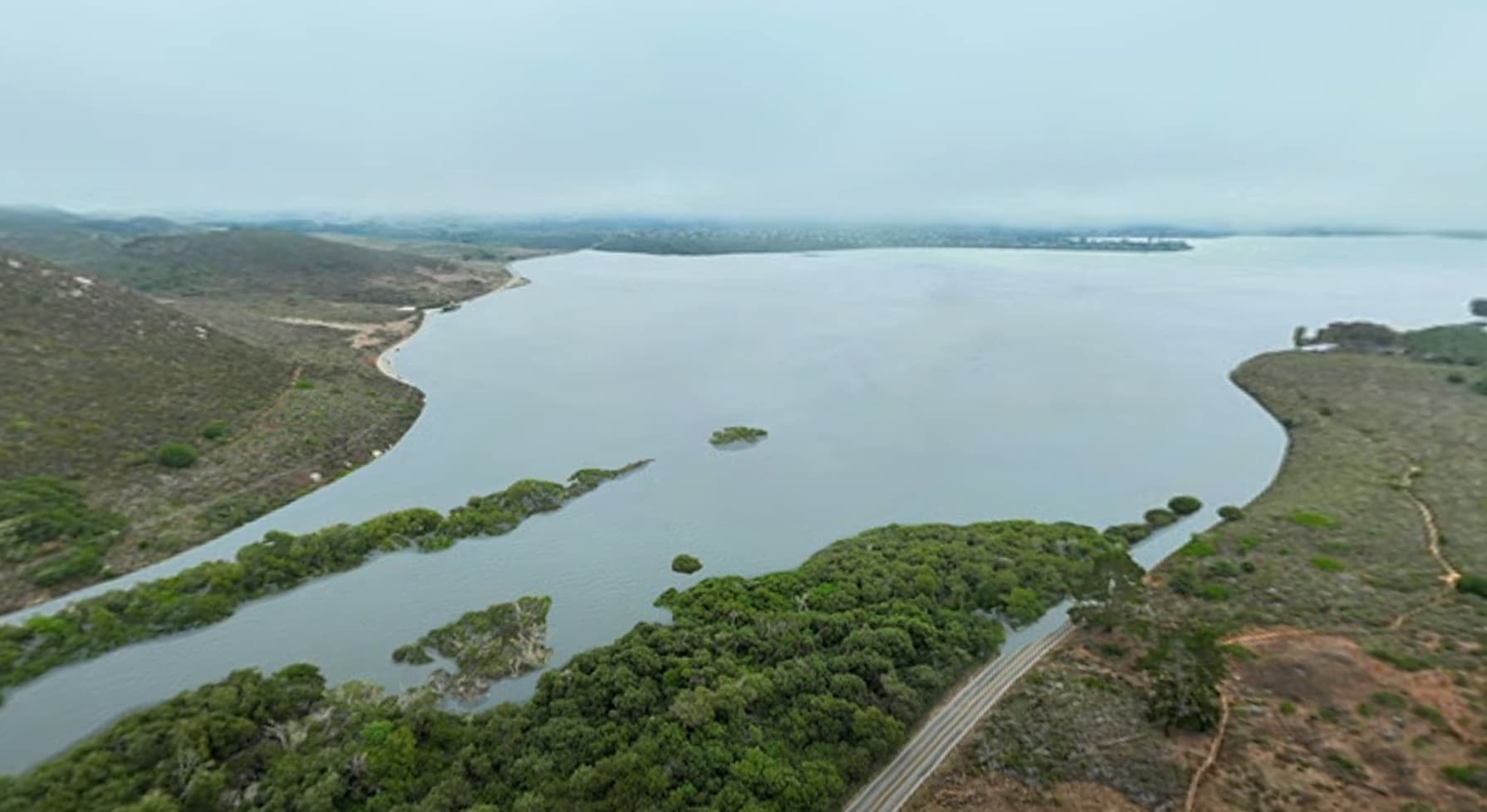
Plan development will include GIS mapping and inventories, site observations, technical analyses of flood hazards including modeling of the estuary water levels with sea-level rise, opportunities and constraints analysis, development of alternatives, evaluation of alternatives using a benefit-cost approach, and finally drafting the adaptation pathways concept, which will be visualized using innovative virtual reality tools like the Sea-Level Rise Explorer and 360-degree film. A preview of the virtual reality simulation is shown on the right. Throughout the plan development process, community engagement and public outreach workshops will be held to gather stakeholder input.
Workshops
Upcoming Workshops
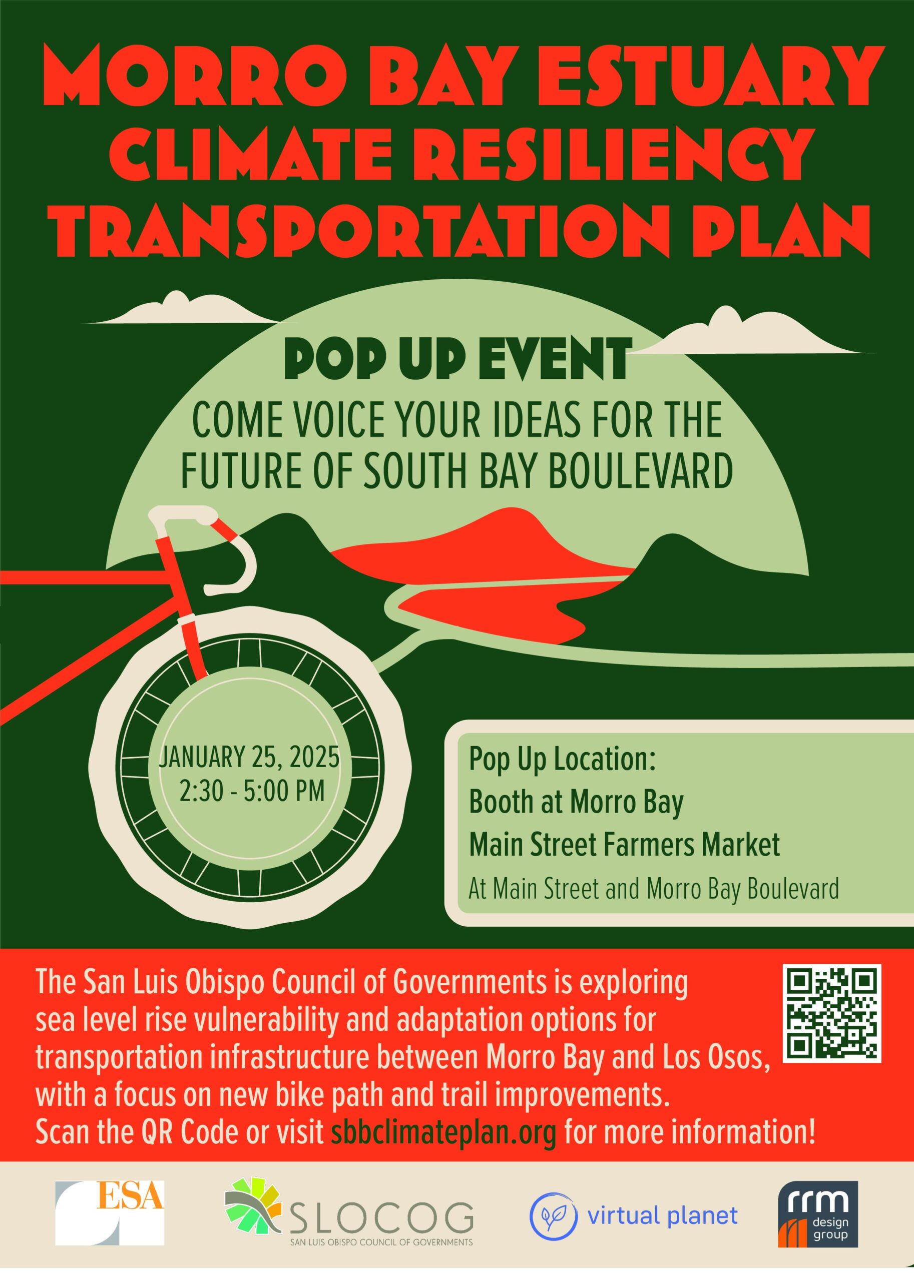
January 25, 2025, 2:30-5pm
The San Luis Obispo County of Governments is exploring sea level rise vulnerability and adaptation options for transportation infrastructure between Morro Bay and Los Osos, with a focus on new bike path and trail improvements. This pop-up workshop at the Morro Bay Farmers Market will include the same content as the first workshop on SLR vulnerability and bicycle and pedestrian connectivity and will provide another opportunity to discuss the project with the planning team.
Past Workshops
January 15, 2025, 5-7 PM
The San Luis Obispo County of Governments is exploring sea level rise vulnerability and adaptation options for transportation infrastructure between Morro Bay and Los Osos, with a focus on new bike path and trail improvements. This event included a presentation and Q&A with the planning team.
Files
December 3, 2024, 6-7:30 PM
The San Luis Obispo County of Governments is exploring sea level rise vulnerability and adaptation options for transportation infrastructure between Morro Bay and Los Osos, with a focus on new bike path and trail improvements. The first workshop is anticipated to include presentations and Q&A with the planning team and a series of information stations with material on specific components of the study.
Resources

Public Workshop Materials - December 3, 2024
About
Funding
The current study is funded by the FY2023/24 Caltrans Sustainable Transportation Planning Grant Program, and after its completion it will help position the County, State Parks, and the City of Morro Bay to obtain federal and/or state funds to further advance the adaptation projects through the next phases of planning, design, and implementation. This study is the first step to identify the potential solutions that are suitable and inclusive of the community’s vision and values, and it will provide a clear basis for prioritizing near-term actions and guiding longer term planning to higher amounts of sea-level rise in the future.
Teaming Partners
Project Leader
Project Consultants Team
Contact
John DiNunzio, Programming & Project Delivery
San Luis Obispo Council of Governments
jdinunzio@slocog.org
